Why snow isn’t the only precipitation you need to worry about
Certain types can bring huge parts of the country to a standstill, with the potential for whiteout conditions, impassable roads, icy conditions, power outages and roof collapses.
It’s crucial that forecasters do their best to get it right.
There are three basic types of winter precipitation: snow, sleet and freezing rain. The type of precipitation you get is all based on the air temperature at different levels of the atmosphere.
Think of the atmosphere as a tall column. If that column of air is below freezing from top to bottom, the result will be snow.
If there is warm air at the top, and below-freezing temperatures toward the bottom of the column, then you will have sleet. This is because the warm air high in the atmosphere will produce a raindrop. As the raindrop falls and enters into the air below freezing, it will freeze before hitting the surface. Because sleet is basically a frozen raindrop, you can actually hear sleet when it hits the surface.
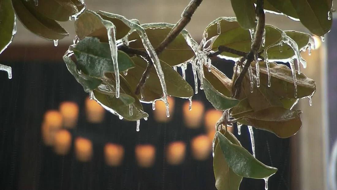
Lastly, if the entire column of air is above freezing until right at the surface, the raindrop will freeze on contact. This is called freezing rain and it is the most dangerous type of precipitation.
“Some of the most disastrous winter weather storms are due primarily to freezing rain,” says the National Weather Service.
Freezing rain freezes to anything it comes in contact with, causing a dangerous glaze of ice on roadways, trees, power lines and your vehicle. The weight of the ice can bring down trees and power lines, causing power outages during extremely cold temperatures.
The ice on the roads turns the roadways into ice rinks and can cause major traffic accidents and interstate pileups.
It takes less than a quarter inch of ice to make travel dangerous. Tree limbs begin to break with a quarter to half inch of ice accumulation. And when more than a half inch of ice accumulates, there will be widespread tree damage and extensive power outages.
The importance of being right
Deciding where the rain ends and the snow begins can mean the difference in where to employ de-icing machines, aircraft de-icing, school cancellations and so much more. Also, knowing which areas will receive sleet or freezing rain is incredibly important.
The rain-snow line is a term we often hear when a winter storm is forecast. The term simply defines the point at which the rain transitions to snow. In mountainous regions, it takes on a vertical connotation and is defined by the elevation at which rain transitions to snow.
If the rain-snow line is forecast inaccurately, this could mean a city expecting to get all rain from a storm and actually ends up getting all snow. This could have devastating consequences if a city doesn’t plan for snow and hasn’t treated the roadways, canceled schools or warned its residents.
The same could also be true if a city expects to get all snow and ends up getting all rain. They would have wasted countless taxpayer dollars treating roadways and closing businesses in preparation, and then nothing happens.
Most people living across the South can recall a “snow day” where no snow fell. Key decisions such as school closings have to be made during the overnight period when wintry precipitation is expected to begin during the morning hours. If the temperature is slightly warmer than expected, that wintry precipitation falls as rain and you have a busted forecast.
For example, it’s essential to know the elevation of the rain-snow line in Colorado to know whether some of the mountain passes along Interstate 70 will be able to stay open. In New York, it’s crucial to know whether the rain-snow line will reach the I-95 corridor or stay west.
Why are bridges the first to freeze?
During winter weather, bridges and overpasses are the first to freeze. This is because they have air on all sides, so they will cool faster than surface roads. Surface roads are naturally more insulated because the cold air is only above the surface, while the ground underneath keeps the roadway warmer.
Then you have what’s called a wintry mix. It’s basically a little bit of everything. When you are near the rain-snow line, the rain can transition to sleet over time, then transition to snow. Or snow will transition to rain.
Forecasters have the important job of not only identifying what type of precipitation will fall, but also timing out when one type of winter precipitation will transition to another type.
It’s crucial to know what time rain will be changing over to snow. Will it happen before the evening commute or after?
It’s challenging, no doubt, and not always perfect. But knowing what will fall and when is the key to staying prepared in winter weather.
CNN meteorologist Taylor Ward contributed to this report.
![]()


